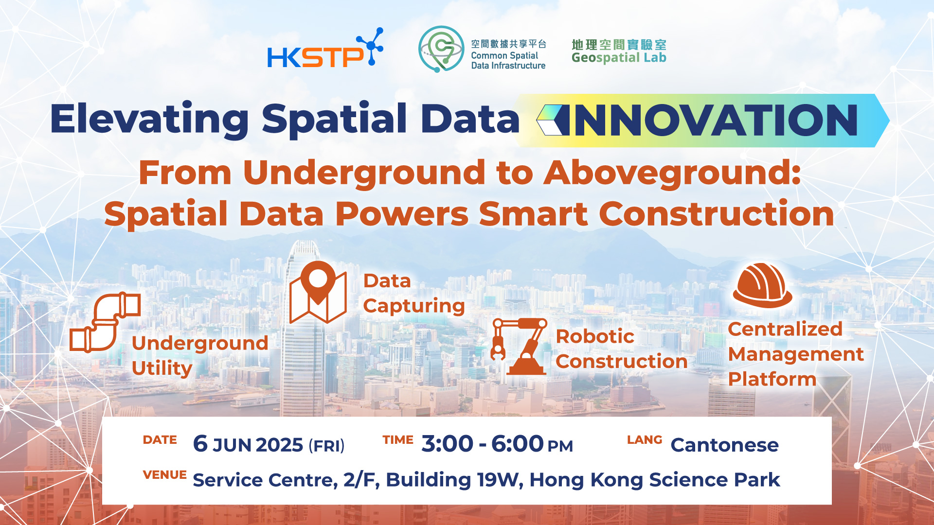
From Underground to Above Ground: Spatial Data Powers Smart Construction
Target: Public
This seminar explores how does spatial data power the entire construction lifecycle. From mapping underground utilities to reduce roadwork disruptions, to monitoring building progress by comparing LiDAR-scanned 3D point clouds with BIM models, spatial data enables real-time insights and decision-making. Learn how SLAM-based navigation empowers robots to perform precise construction tasks, and how all data streams—from 3D scans to IoT sensors—can be integrated into a centralized 3D GIS platform for smarter, safer, and more efficient site management. It offers practical insights for builders, contractors, consultants, and tech innovators driving the future of construction.


Enquiry email : DSH-events@hkstp.org
Share to

GeoWorkstation

Spatial AI Sandbox PoC Challenge

Innovate Connections through AI

人工智能賦能教育:「智啟學教」撥款計劃研討會
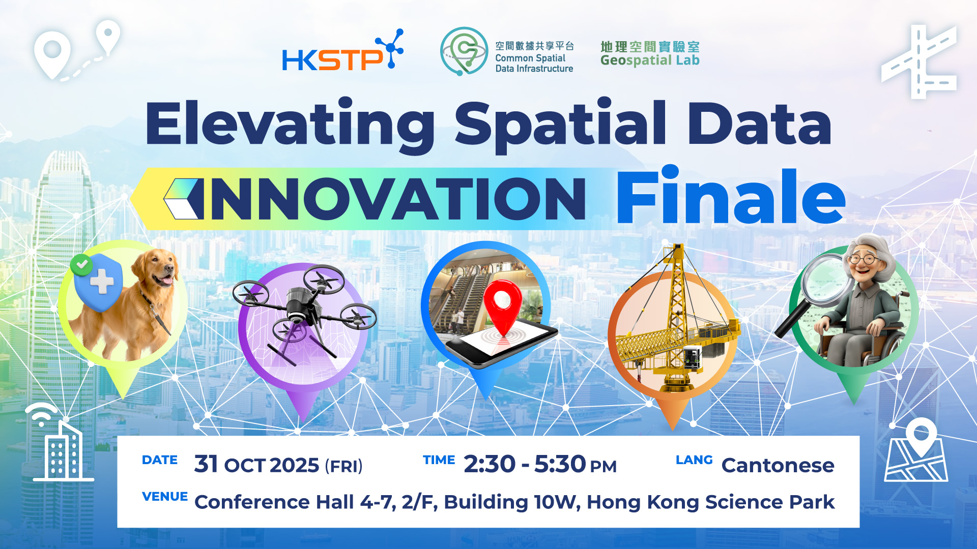
Elevating Spatial Data Innovation Finale
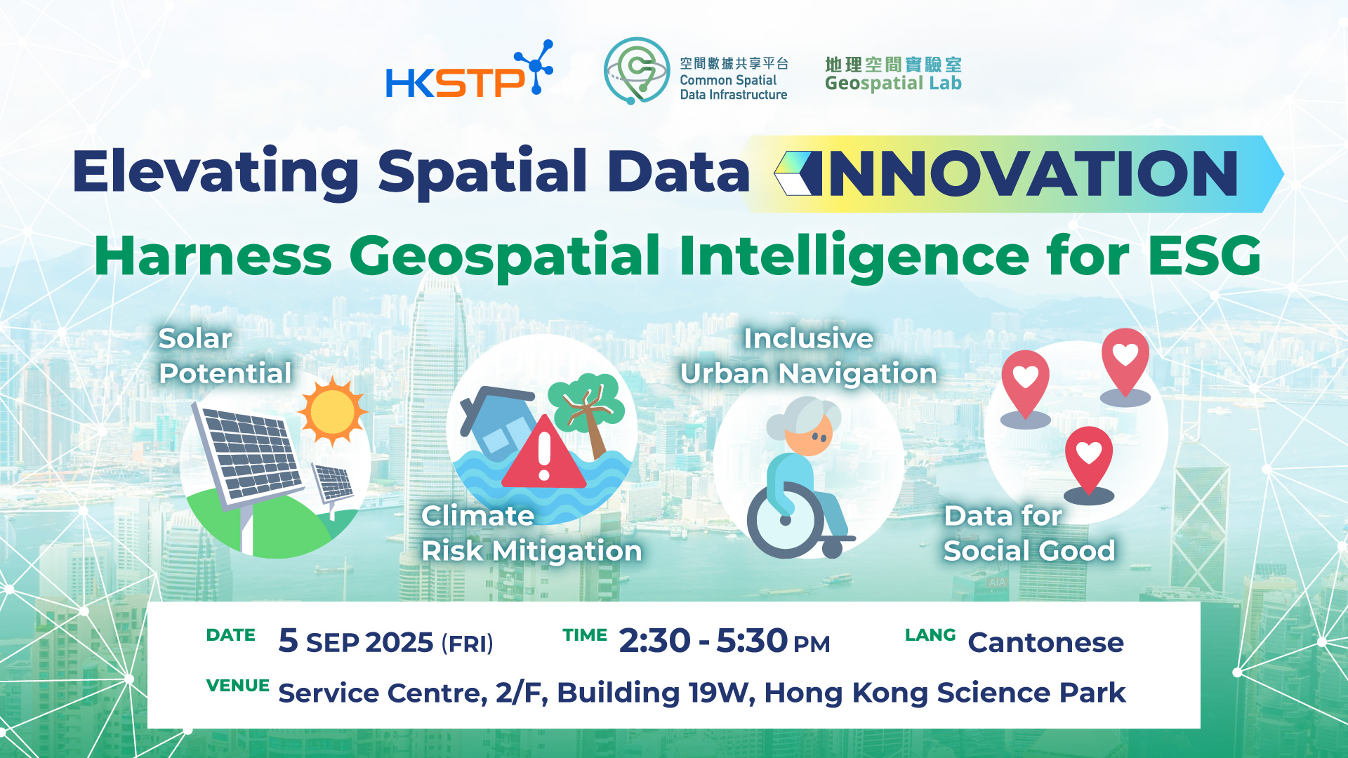
Harness Geospatial Intelligence for ESG
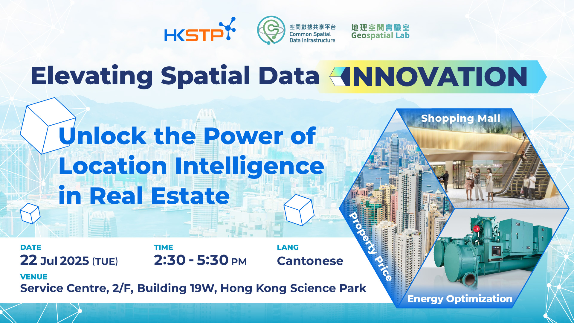
Unlock the Power of Location Intelligence in Real Estate

Geospatial Intelligence Propells Low Altitude Economy
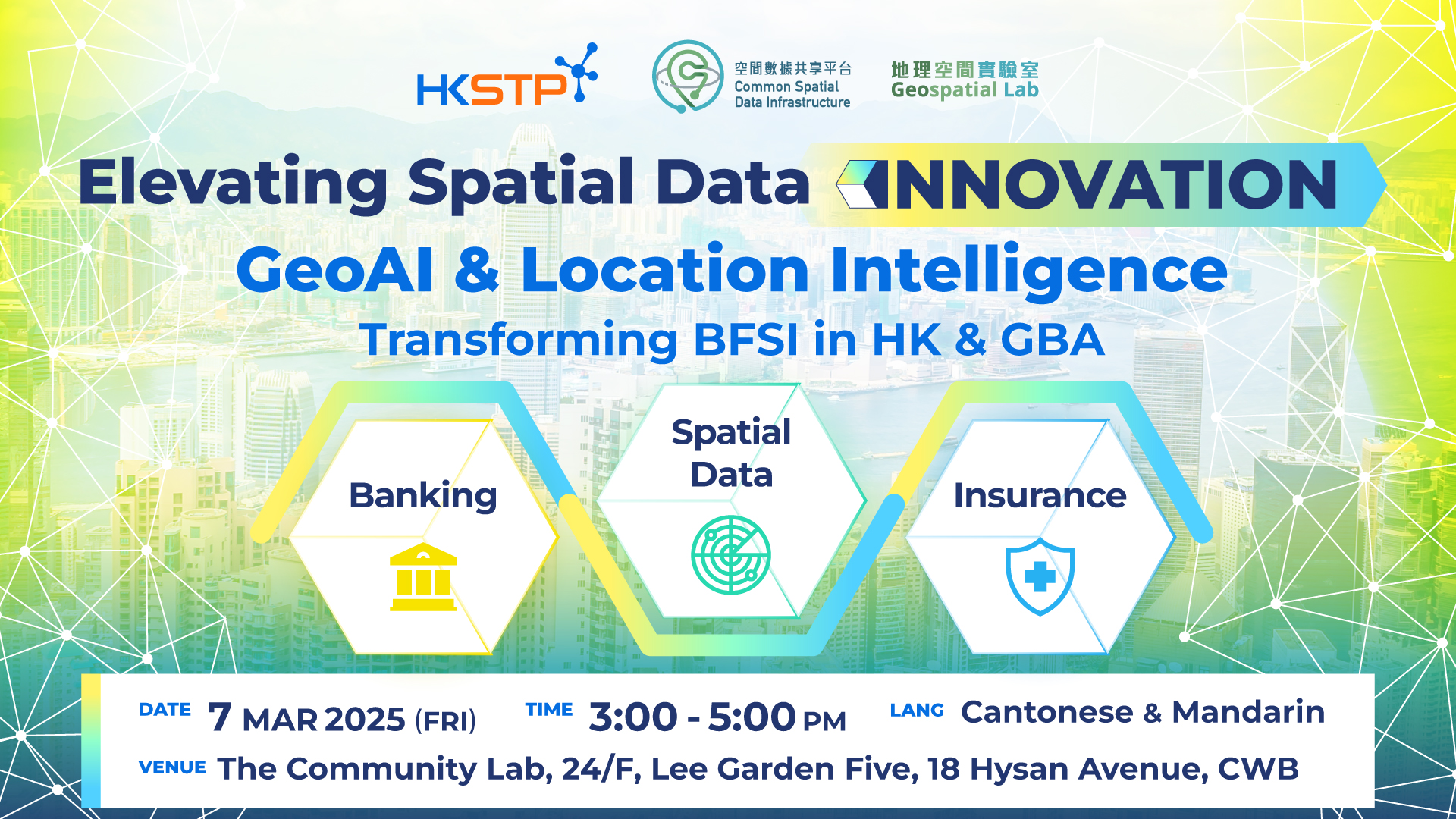
GeoAI & Location Intelligence – Transforming BFSI in Hong Kong & the Greater Bay Area

Members Networking (November 2024)
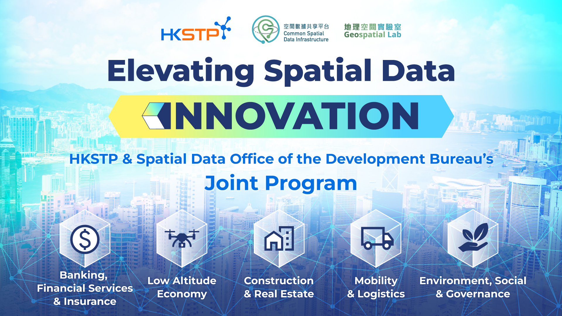
Elevating Spatial Data Innovation: HKSTP and SDO's Joint Program Unveiling