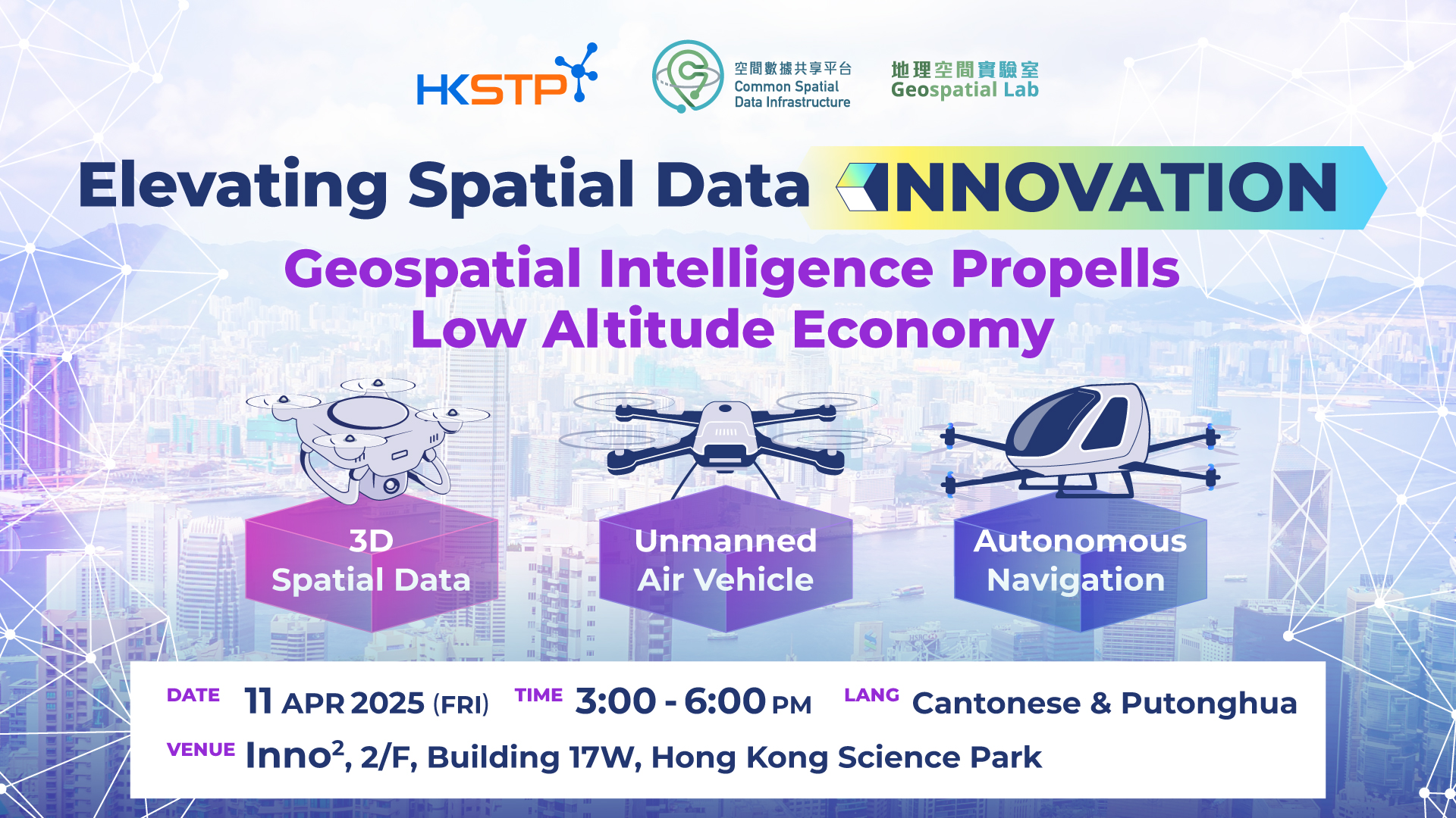
Geospatial Intelligence Propells Low Altitude Economy
Target: Public
The Low Altitude Economy (LAE) is taking off, driven by geospatial intelligence that seamlessly integrates the newly released 3D map from CSDI, precise positioning, and real-time locational data to redefine aerial mobility. From drone delivery services to AI-powered autonomous flight systems, these advancements are building the foundation for a smarter, safer, and more scalable low-altitude economy. Join LAE industry leaders from telecommunications, drone delivery operations, AI-driven drone startups and the Government departments as they share their insights and firsthand experiences in shaping the future of air mobility.
Rundown
| 3:00 - 3:10pm | Welcome Speech | Mr. Martin LIU |
| 3:10 - 3:25pm | Keynote Speech | Ms. Joan HUNG |
| 3:25 - 3:40pm | Introduction to 3D Digital Map | Dr. Haodong ZHANG |
| 3:40 - 3:55 pm | LAE Use Case (1) - Surveillance | Mr. Jerry NG |
| 3:55 - 4:10 pm | LAE Use Case (2) - Delivery | Mr. Kenny LAU |
| 4:10 - 4:25 pm | LAE Use Case (3) - Safety and Control | Mr. Michael TSANG |
| 4:25 - 4:40 pm | LAE Use Case (4) - Public Safety | Mr. Eugene TAM |
| 4:40 - 5:10pm | Panel Discussion | Moderator: Mr. YC CHAN |
| 5:10 - 5:15 pm | Closing Remark | Mr. Edmond LAM |
| 5:15 ~ 6:00 pm | Networking |

Enquiry email : DSH-events@hkstp.org
Share to

GeoWorkstation
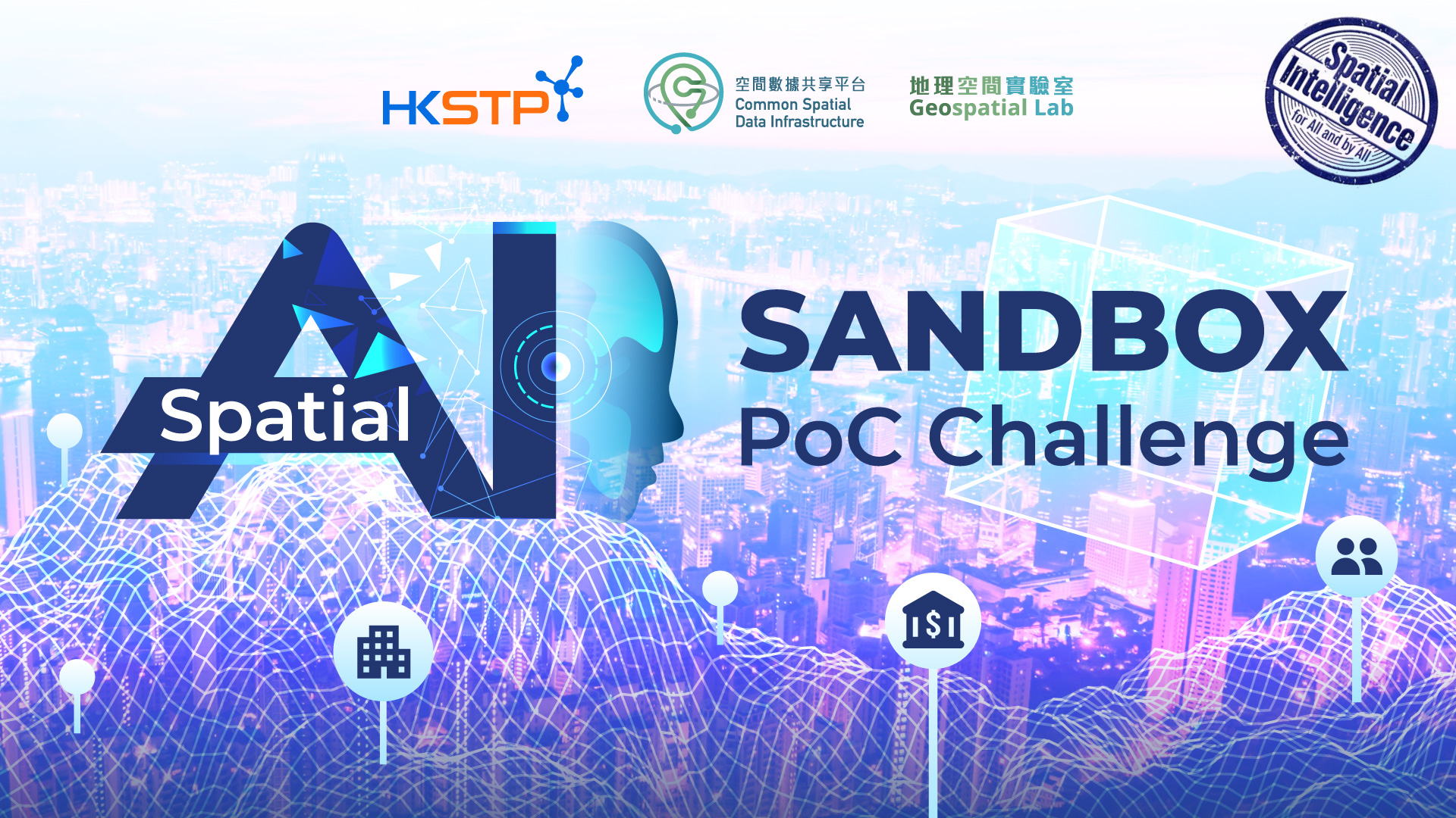
Spatial AI Sandbox PoC Challenge

Innovate Connections through AI

人工智能賦能教育:「智啟學教」撥款計劃研討會
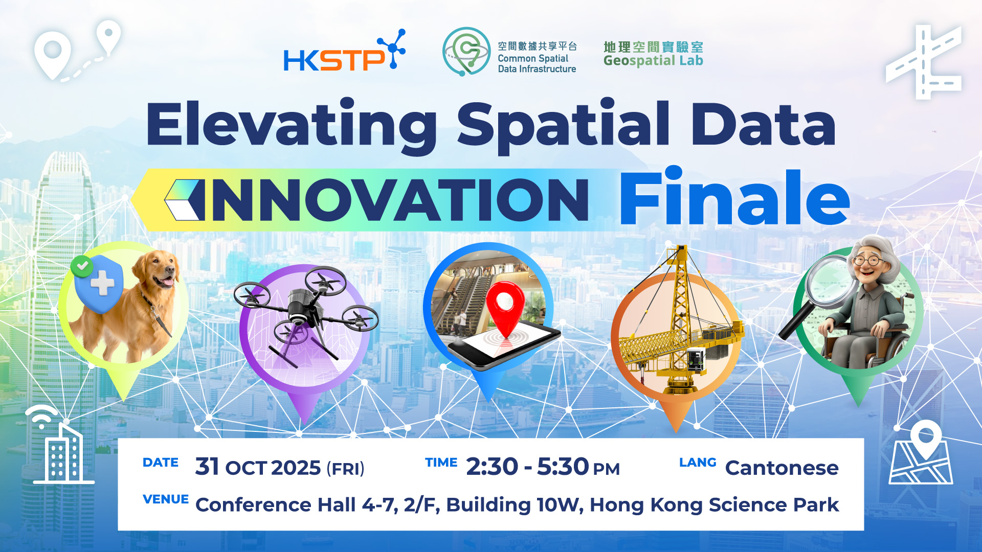
Elevating Spatial Data Innovation Finale
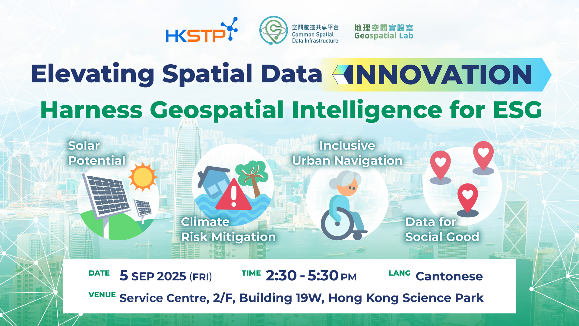
Harness Geospatial Intelligence for ESG
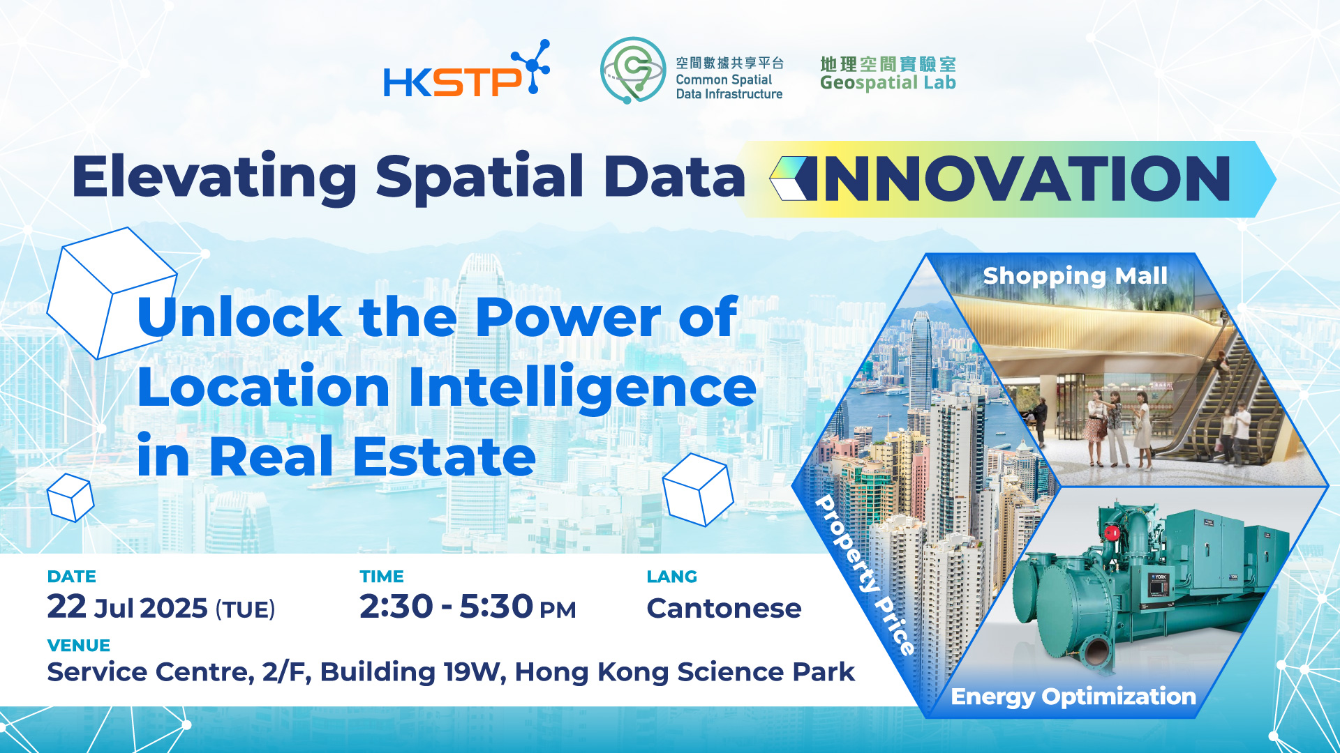
Unlock the Power of Location Intelligence in Real Estate

From Underground to Above Ground: Spatial Data Powers Smart Construction

GeoAI & Location Intelligence – Transforming BFSI in Hong Kong & the Greater Bay Area

Members Networking (November 2024)
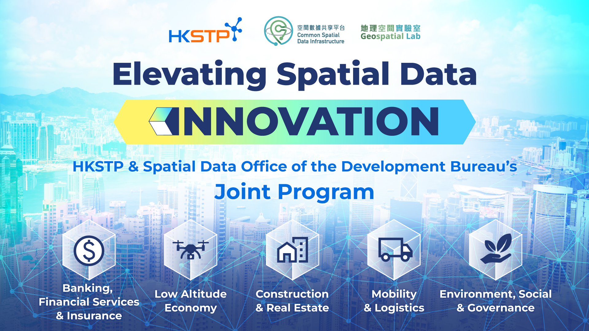
Elevating Spatial Data Innovation: HKSTP and SDO's Joint Program Unveiling